
As the South Woodford Design Code continues to develop in earnest, Pearl Arbenser-Simmonds reports on the work underway to create an online map of community assets
A Design Code is a collection of design principles to help local areas deliver beautiful and sustainable places. It enables the community to lead the way in shaping the design of their own neighbourhood. The document will eventually provide guidance for development, covering the design of streets, public spaces and buildings, as well as spaces for nature.
The South Woodford Society and Neighbourhood Forum are progressing well in developing a digital version of the Design Code for the area. We are in the process of creating a new, user-friendly website so residents, community groups, businesses, developers and other interested stakeholders can explore what matters to people locally. It will also set out guidelines for new development and our targets for 2040.
One of the things we are doing is mapping community assets using the web-based ArcGIS. A graphic information system (GIS) is a spatial system that creates, manages, analyses and maps all types of data. It is a complete system for discovering, consuming, creating and sharing geographical data maps and apps designed to fulfil particular objectives. It connects data to a map, integrating location data (where things are) with all types of descriptive information (what things are like there). For example, Crossrail is using ArcGIS to develop maps and data for public-facing information.
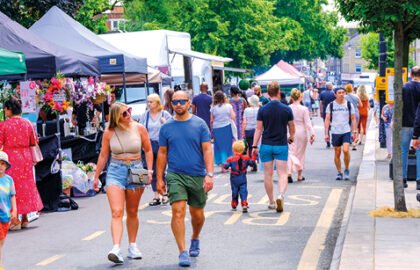
Here in South Woodford, we are mapping everything from street benches to tree canopy cover to better understand what we have and what we need. This digital map will document our journey towards South Woodford as a green and active neighbourhood, which inspires people to walk and cycle, with a vibrant town centre filled with opportunities for the community to socialise.
With a series of road maps as our basic tools, we have walked the streets within our boundary, noting the locations of street benches (including bus stop seats), cycle storage and trees. The image here shows a basic view of the work we have carried out thus far. Over the coming weeks, we’ll continue this process using online tools, as well as our base maps, to document more assets, such as cycle routes, cycle storage and walking routes. Our aspiration is to eventually map pretty much anything that is of interest to our local community. You will then be able to access this information via an online map.
This project is a lot of work, so we are always happy to have additional volunteers to help. If this is something you would like to support, please get in touch. We’d love to hear from you!
For more information and to get involved, email sowodeco@gmail.com

