
Pearl Arbenser-Simmonds celebrates the completion of South Woodford’s digital Design Code and looks ahead to the area becoming London’s most liveable urban village
As I write this, 2024 draws to a close, which is fitting as our exciting work on creating the South Woodford digital Design Code is also coming to an end! We are particularly proud of the work we have achieved, supported by the Ministry of Housing, Communities and Local Government (MHCLG).
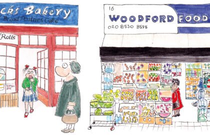
The Design Code will ensure any development that takes place is sympathetic both to our local environment and residents’ needs by prioritising accessible green space, better public spaces, improved walking and cycling infrastructure and key amenities.
The Design Code website has been amalgamated with the South Woodford Society website. The Design Code draft has been finalised and we have created a digital version of the code; this work is now live on our new website. It is a website still in beta testing, so if you spot any errors or bugs, do please let us know!
Work continues on the Neighbourhood Plan and we envisage presenting a draft to the London Borough of Redbridge in spring 2025. This will be followed by a public consultation on the draft and an independent examination, culminating in a public referendum on adopting the plan.
Creating a digital Design Code has been exciting and we believe we have managed to strike the right balance between offering tangible information to relevant professionals and developers, whilst keeping it interesting and engaging for local residents. It includes interactive models of what the two main development sites in our area (Station Estate and Station Car Park – identified by London Borough of Redbridge in their Local Plan) could be. It is very important to note the models and plans are quite simply illustrations of what those sites could achieve, taking into account local residents’ preferences and stated needs.
We will also be creating QR codes to be displayed at various locations across South Woodford in the spring. These will allow anyone to view information specific to that location.
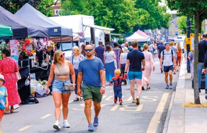
Developed in partnership with AzuKo, the interactive map documents our community’s assets – everything from green spaces and tree canopy cover to public seating and cycle parking. This will illustrate changes over time and show how close we are to our targets for South Woodford becoming ‘London’s most liveable urban village’. We are also mapping kerb uses, kindly enabled by AppyWay. This data will allow us to understand just how sustainable our kerb spaces currently are and identify those which could be re-allocated for uses such as street trees, parklets and sustainable drainage systems. Over the coming year, we will explore ways of expanding this interactive map to include local walking and cycling routes.
Thank you all for your support and engagement in 2024 and very best wishes for the year ahead.
For more information and to view the new South Woodford Society website, visit sowosoc.org
